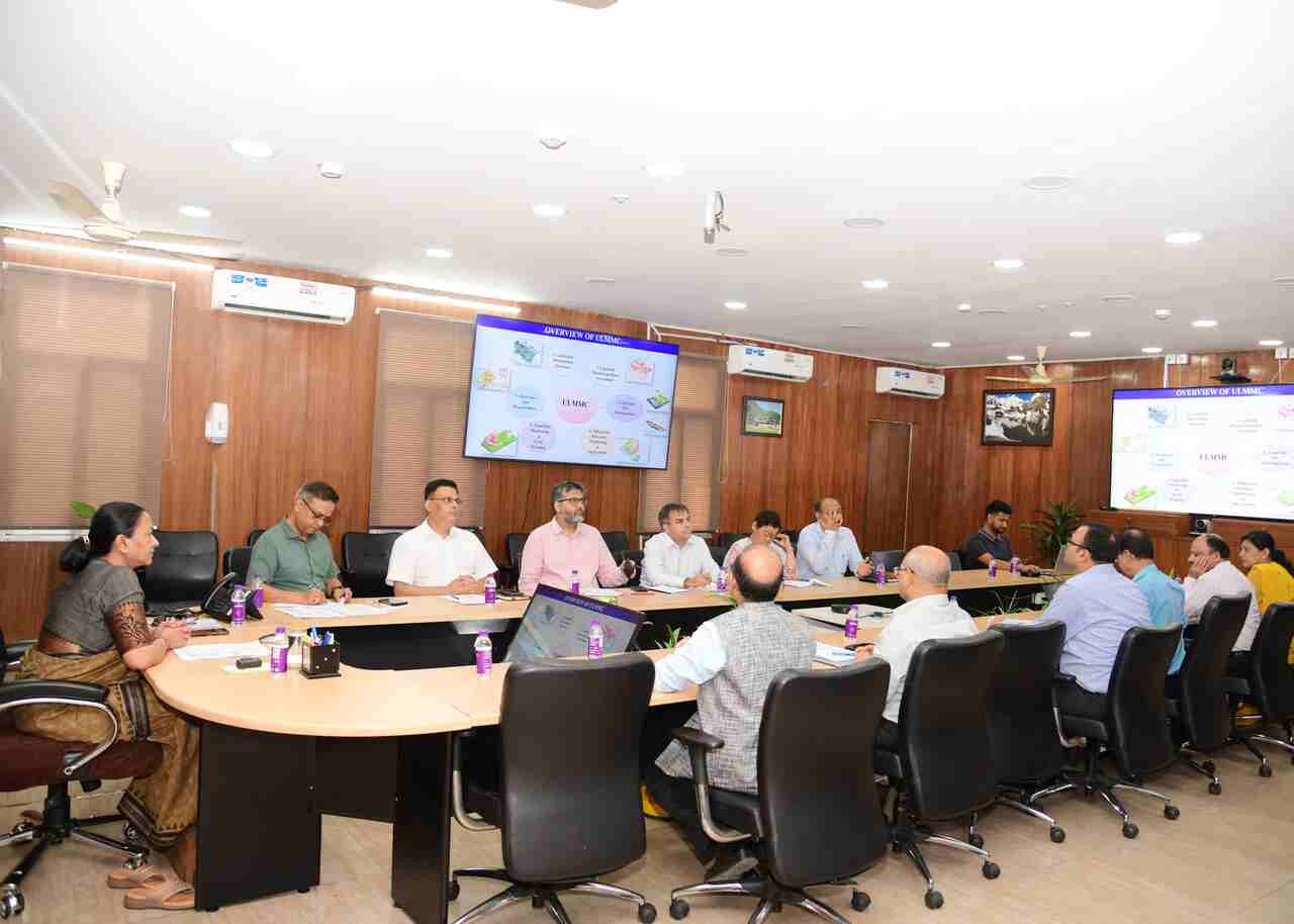
Dehradun: Chief Secretary Mrs. Radha Raturi has given instructions to make the database of landslide information, assessment of landslide hazards and risks, field testing of landslides effective in the state. CS has given instructions for continuous monitoring of the works being done for the reduction of landslides in the state. He also issued instructions to make the monitoring of landslides and early warning system effective during the second executive committee meeting of ULMMC (Uttarakhand Landslide Reduction and Management Center) in the Secretariat. The Chief Secretary said that special attention should be paid to awareness and advance preparations to avoid the risk of landslides in the state.
Chief Secretary Mrs. Radha Raturi has given instructions to prepare an atlas of the Chardham Yatra route under the Landslide Information Database, prepare district-wise landslide inventory and map the sensitivity of landslides district-wise. She also summoned the report of the assessment of landslide hazards and risks (LIDAR Survey) being done in Almora, Gopeshwar, Mussoorie, Nainital Uttarkashi. It was informed in the meeting that landslide field testing of 60 sites has been done by ULMMC in the last one year. Landslide mitigation and monitoring projects are being conducted in Joshimath, Haldpani (Gopeshwar), Il Dhara (Dharchula), Baliyanala (Nainital) and Glogi (Mussoorie). Preparations are on to start projects of landslide mitigation and monitoring in Naina Choti of Nainital, Mansa Devi of Haridwar and Bahugunanagar of Karnaprayag. 226 DPRs have been evaluated under SDMF.
Principal Secretary Ramesh Kumar Sudhanshu, Secretary Vinod Kumar Suman, Additional Secretary Dr. Ahmed Iqbal, Vineet Kumar and other officials were present in the meeting.


